
Google Earth Pro is a powerful software tool that has revolutionized the way we explore and interact with our world. With its advanced features and intuitive interface, Google Earth Pro offers users a unique and immersive experience that goes beyond traditional mapping applications. Whether you’re a professional in need of precise geographic data or simply an enthusiast looking to discover new places, Google Earth Pro has something to offer for everyone.
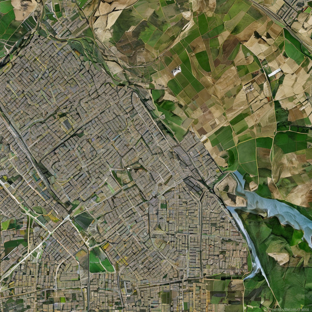
One of the key features that sets Google Earth Pro apart from its competitors is its ability to provide high-resolution satellite imagery of virtually any location on Earth. This level of detail allows users to zoom in on specific areas with incredible clarity, making it ideal for tasks such as urban planning, environmental monitoring, and archaeological research. The software’s vast database of images is constantly updated, ensuring that users have access to the most current information available.
In addition to its impressive imagery capabilities, Google Earth Pro also offers a range of tools for measuring distances, areas, and angles directly on the map. This functionality is particularly useful for professionals working in fields such as construction, surveying, and real estate, where accurate measurements are essential. By simply clicking and dragging on the map, users can quickly and easily obtain precise measurements without the need for additional tools or equipment.
Furthermore, Google Earth Pro’s 3D view feature allows users to explore cities, landscapes, and landmarks in stunning detail. By leveraging advanced rendering techniques, the software is able to create realistic 3D models of buildings and terrain, providing users with a truly immersive experience. Whether you’re planning a trip, studying geography, or simply admiring the beauty of our planet, the 3D view feature adds a whole new dimension to the exploration process.
Another standout feature of Google Earth Pro is its ability to import and overlay GIS data, such as shapefiles and keyhole markup language (KML) files. This functionality enables users to combine their own geographic data with Google Earth’s imagery and terrain, creating custom maps and visualizations for a wide range of applications. Whether you’re analyzing demographic trends, tracking wildlife populations, or mapping infrastructure projects, the ability to overlay GIS data enhances the software’s utility and flexibility.
Moreover, Google Earth Pro offers a variety of tools for creating and sharing custom maps and presentations. Users can add placemarks, lines, shapes, and text annotations to their maps, providing context and additional information for viewers. These customization options make it easy to create professional-looking maps for presentations, reports, and educational purposes, enhancing the communication of complex geographic information.
Additionally, Google Earth Pro includes a historical imagery feature that allows users to view past satellite images of specific locations. This feature is particularly useful for tracking changes in landscapes over time, studying urban development patterns, and conducting environmental impact assessments. By comparing historical imagery with current data, users can gain valuable insights into how our world has evolved and continues to change.
Furthermore, Google Earth Pro offers tools for creating and exporting high-quality images and videos of the 3D view and satellite imagery. This functionality is ideal for professionals looking to create visualizations for presentations, reports, and marketing materials. By capturing and sharing compelling visuals of geographic data, users can effectively communicate their findings and ideas to a wider audience.
Moreover, Google Earth Pro is available for both Windows and Mac operating systems, ensuring compatibility with a wide range of devices and platforms. This accessibility makes it easy for users to access and use the software across different environments, whether in the office, at home, or on the go. With its user-friendly interface and robust feature set, Google Earth Pro remains a versatile and indispensable tool for anyone interested in exploring our world in depth.
In conclusion, Google Earth Pro stands out as a comprehensive and user-friendly software solution for exploring, analyzing, and visualizing geographic data. With its advanced features, high-resolution imagery, 3D view capabilities, and customization options, the software offers a rich and immersive experience for professionals and enthusiasts alike. Whether you’re conducting research, planning projects, or simply satisfying your curiosity, Google Earth Pro provides a powerful toolset that unlocks the wonders of our planet with just a few clicks.